top of page
CHANGING CITIES ROTTERDAM
PERNIS VILLAGE

Location plan of Pernis, a landlocked village in the middle of the port of Rotterdam

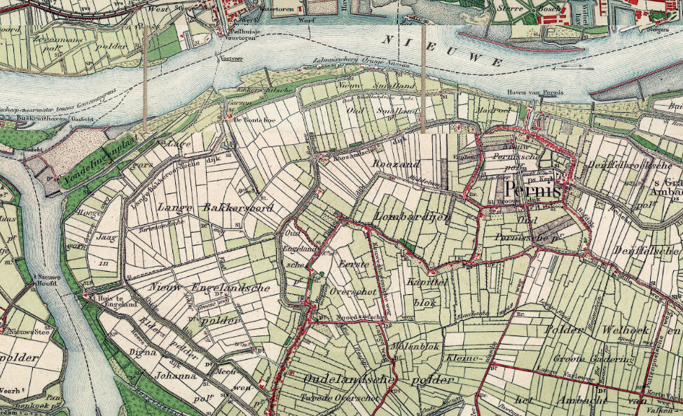
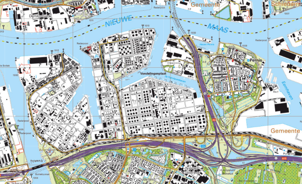
Shell spatial development over time
1900 © Topotijdreis

Shell spatial development over time
1950

Shell spatial development over time
2020

Shell spatial development over time
1900 © Topotijdreis
HOW SHELL TOOK OVER PERNIS?

"What you can see here is maybe the last spots giving you an image of the old Pernis
when it was still farmers land." Inhabitant of Pernis

Pernis village

Pernis village

Pernis village

Pernis village


Shell Pernis
© Jasmine Khalafi

Shell Pernis

Shell Pernis

Shell Pernis
© Jasmine Khalafi


Map of Shell Pernis and the village

Road network and infrastructure

Spread of toxicity

Map of Shell Pernis and the village

Limits
© Google Earth

Limits

Limits

Limits
© Google Earth
bottom of page